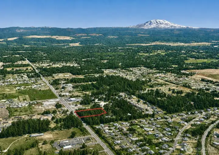
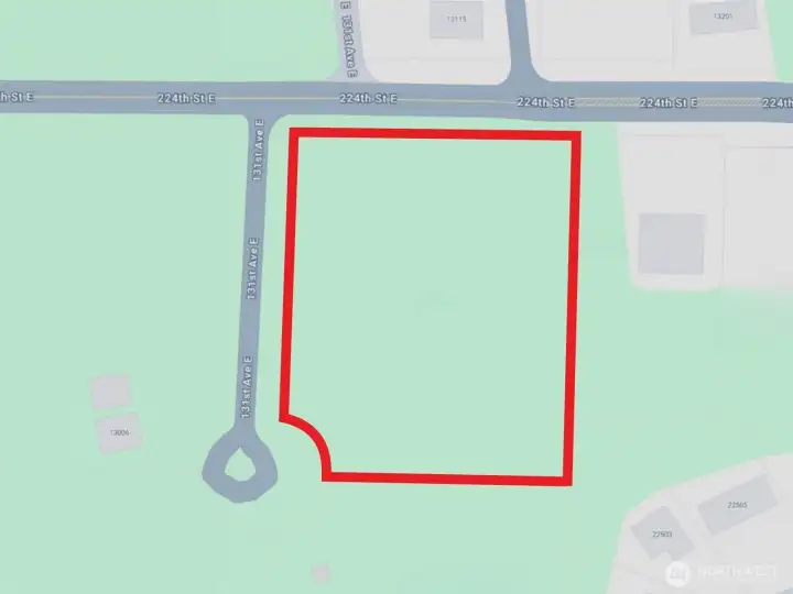
Overhead view with approximate boundaries in red.
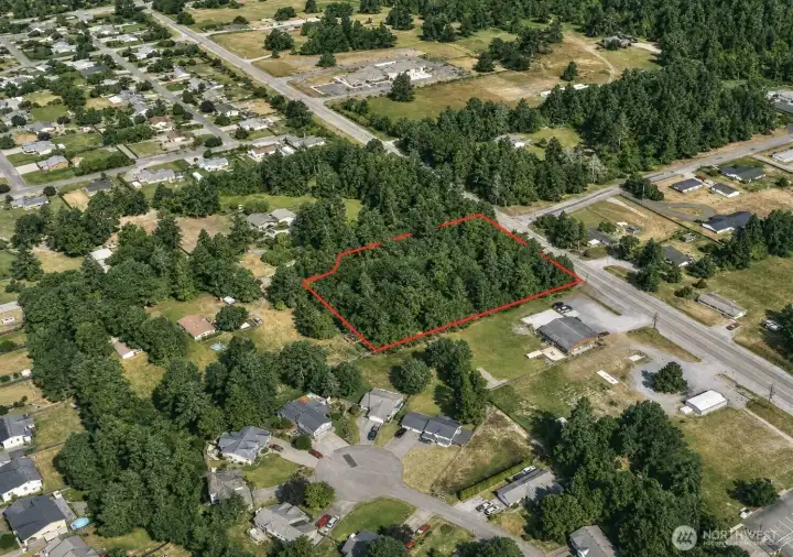
Overhead view with approximate boundaries in red.
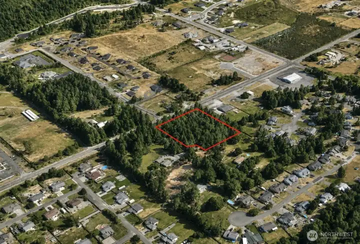
Overhead view with approximate boundaries in red.
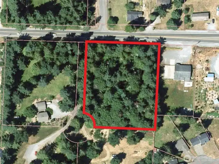
Overhead view with approximate boundaries in red.
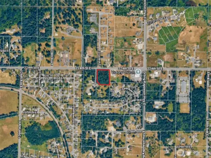
Overhead view with approximate boundaries in red.
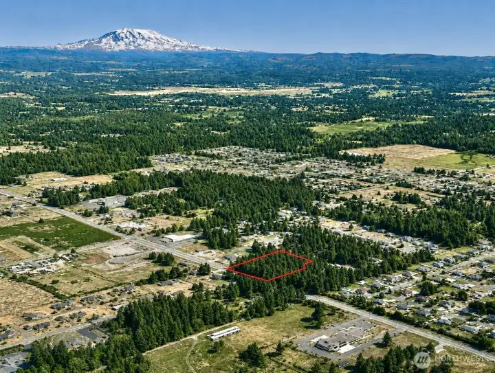
Overhead view with approximate boundaries in red.
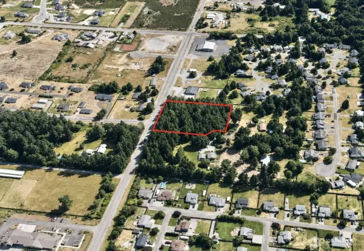
Overhead view with approximate boundaries in red.
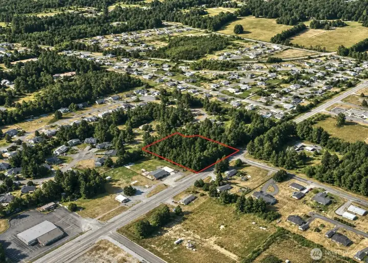
Overhead view with approximate boundaries in red.
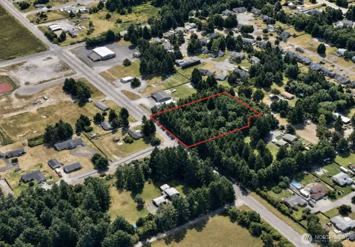
Overhead view with approximate boundaries in red.
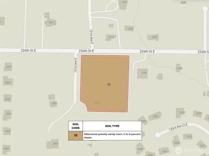
USDA Soil Map.
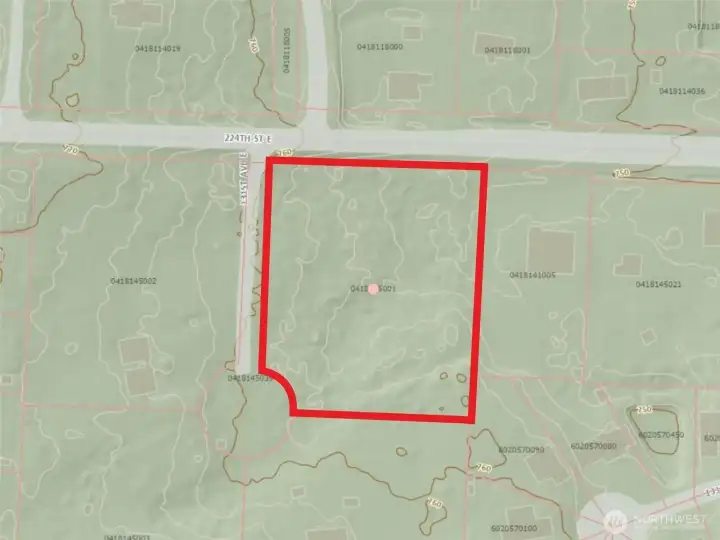
Topography
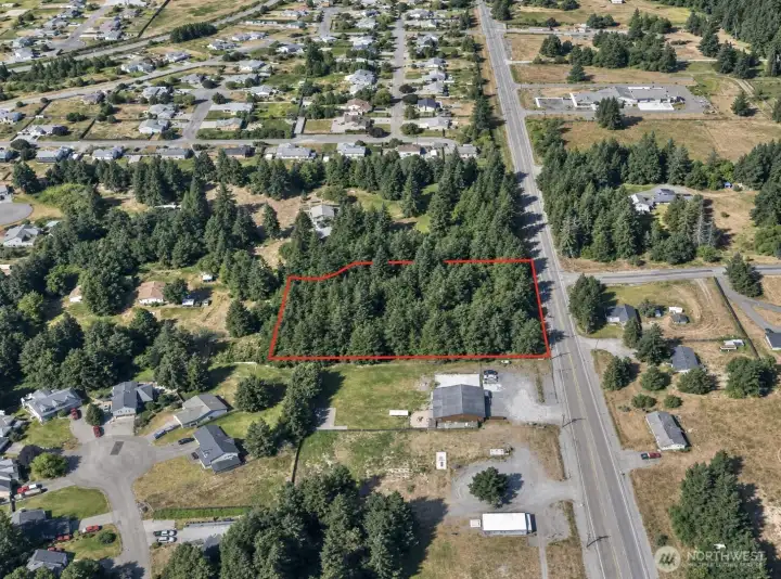
Overhead view with approximate boundaries in red.
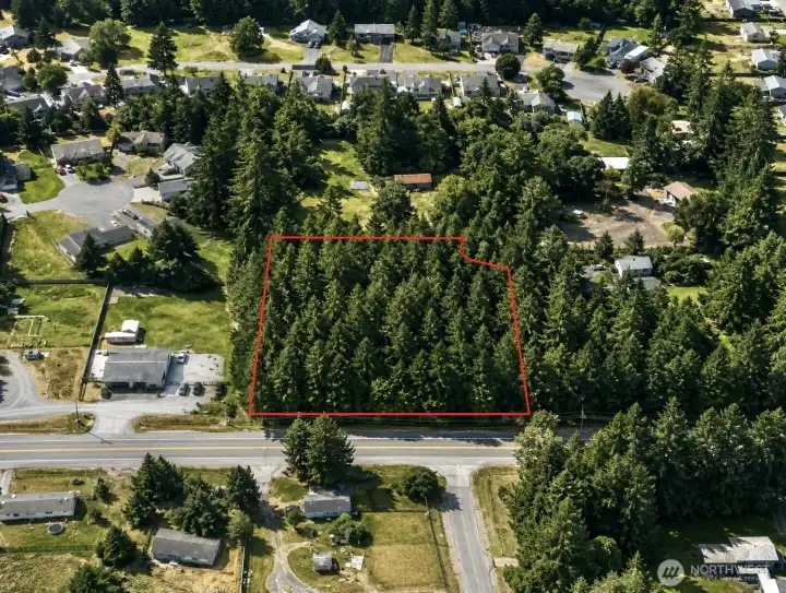
Overhead view with approximate boundaries in red.
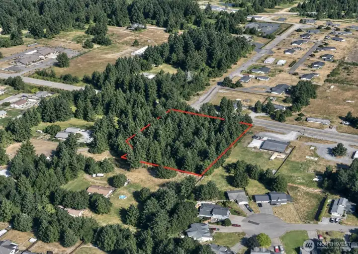
Overhead view with approximate boundaries in red.
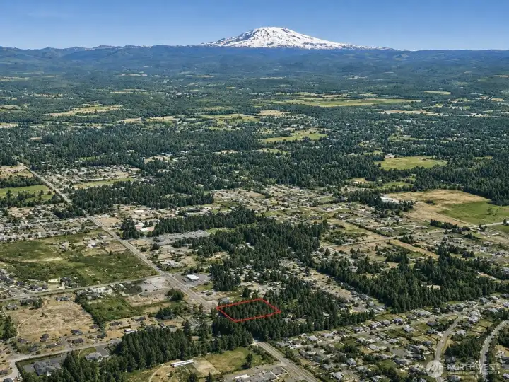
Overhead view with approximate boundaries in red.
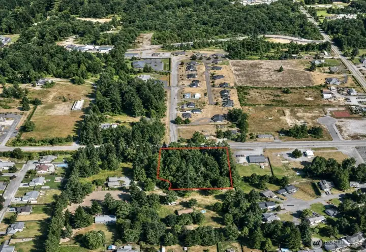
Overhead view with approximate boundaries in red.
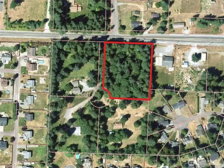
Overhead view with approximate boundaries in red.
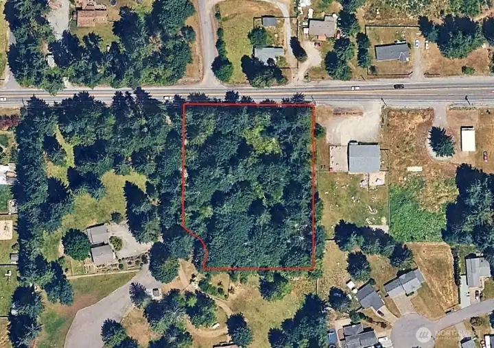
Overhead view with approximate boundaries in red.

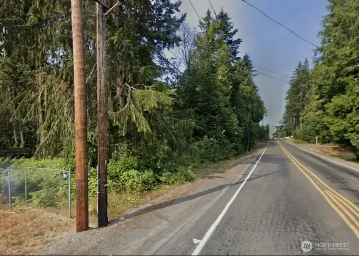
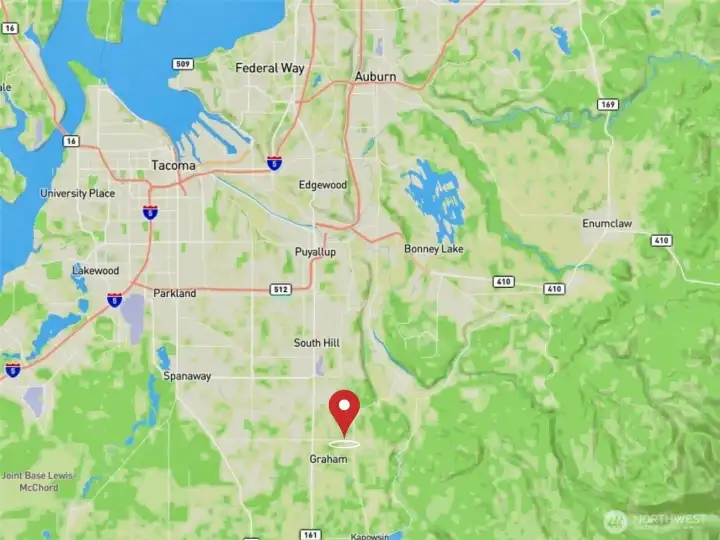
 Courtesy of Windermere Prof Partners


 Information is based on data available to the associate, including county records. The information has not been verified by the associate and all information presented should be verified by the buyer. Listings are provided by Northwest Multiple Listing Service as distributed by MLS GRID. The associate represented on this web site is not a multiple listing service but is a member of a local MLS.