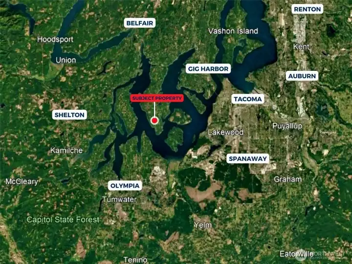
Overhead view with approximate boundaries in yellow.

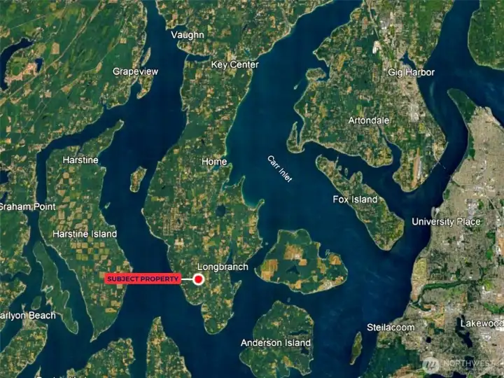
Overhead view with approximate boundaries in yellow.

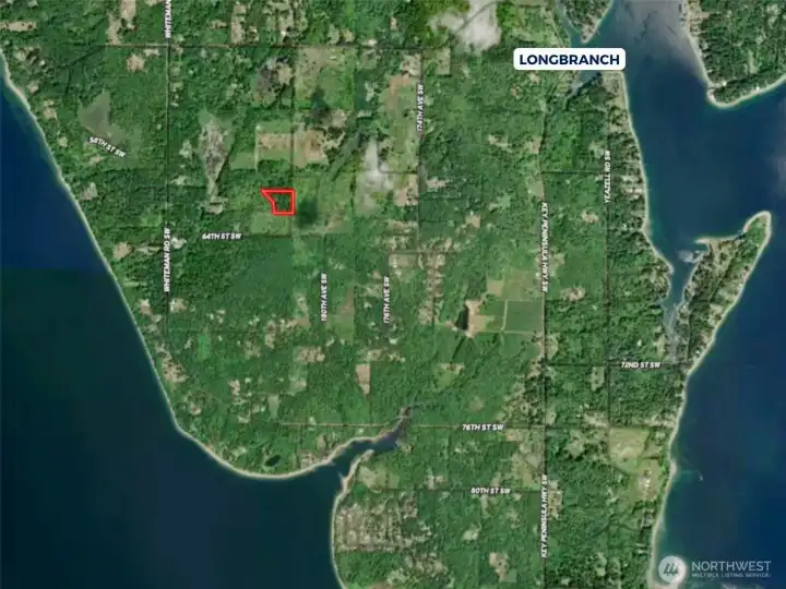
Overhead view with approximate boundaries in yellow.

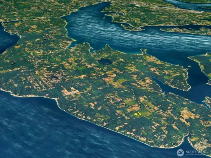
Overhead view with approximate boundaries in yellow.

Overhead view with approximate boundaries in yellow.

Overhead view with approximate boundaries in yellow.

Contours with approximate boundaries in yellow.

USDA Soil Map.

Overhead view with approximate boundaries in yellow.

Overhead view with approximate boundaries in yellow.

Overhead view with approximate boundaries in yellow.

Overhead view with approximate boundaries in yellow.

Overhead view with approximate boundaries in yellow.