Lower part of property.

View from the lot.

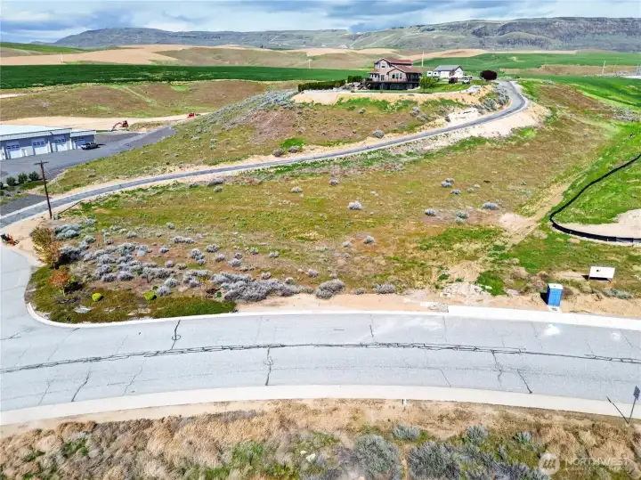
Arial view of property boundaries. Driveway is Shepherd Ln, Street is Fancher Field Rd. Boundary lines are approximate and not exact. Please refer to The plat map.

View of lot and surroundings from Fancher Field Rd with water meter chamber visible.

Power pole on lot.

Water meter chamber with water line staked in blue.

View from Shepherd Ln.

View of lot from Fancher Field Rd.

Arial view of lower part of lot.

Arial view from south corner of the lot.

Arial with approximate boundaries. Road pictured is Fancher Field Rd.

Arial view from rear corner of the lot.

View of lot from the rear of the lot.

View looking up to the East corner of the lot.

Property corners are marked.

View from rear of the lot.

Boundary lines are approximate. Please refer to Survey and plat map.