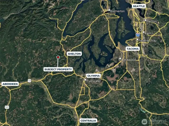
Overhead view with approximate boundaries in yellow.

Overhead view with approximate boundaries in blue.

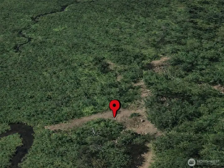
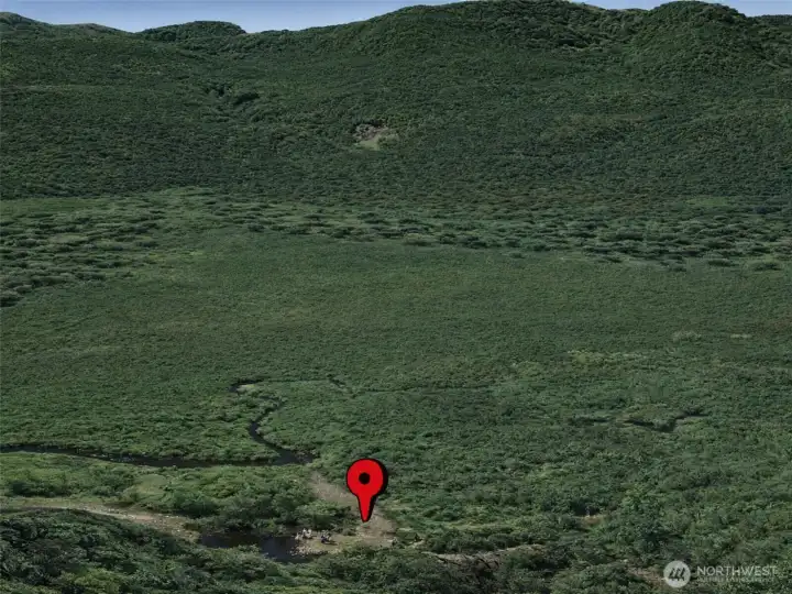
Overhead view with approximate boundaries in red.

Overhead view with approximate boundaries in red.

Overhead view with approximate boundaries in red.

USDA SOIL MAP

Overhead view with approximate boundaries in blue with approximate topography lines.

Overhead view with approximate boundaries in yellow.

Overhead view with approximate boundaries in yellow.

Overhead view with approximate boundaries in yellow.

Overhead view with approximate boundaries in red.

Overhead view with approximate boundaries in red.