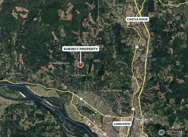
355 E Ragland Road Longview, WA 98632

Underlying lots from survey.

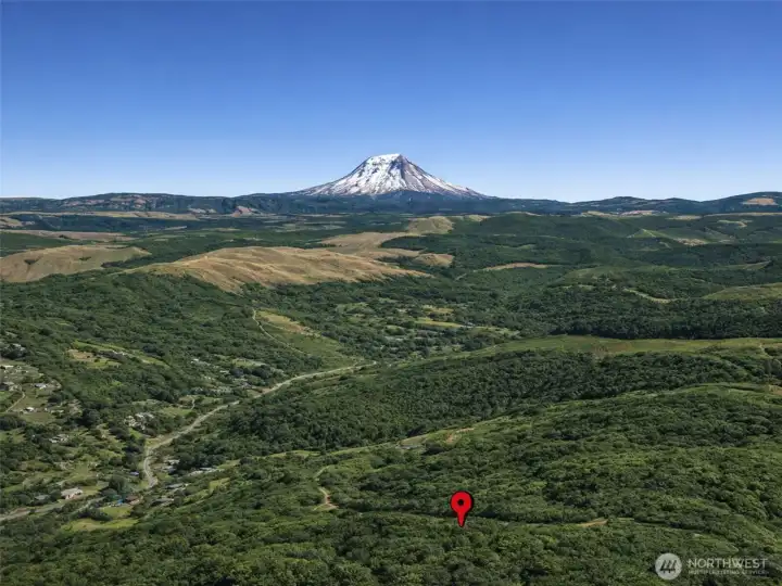
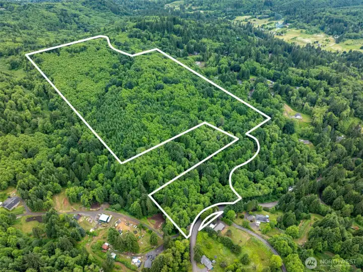
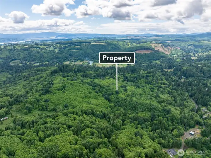
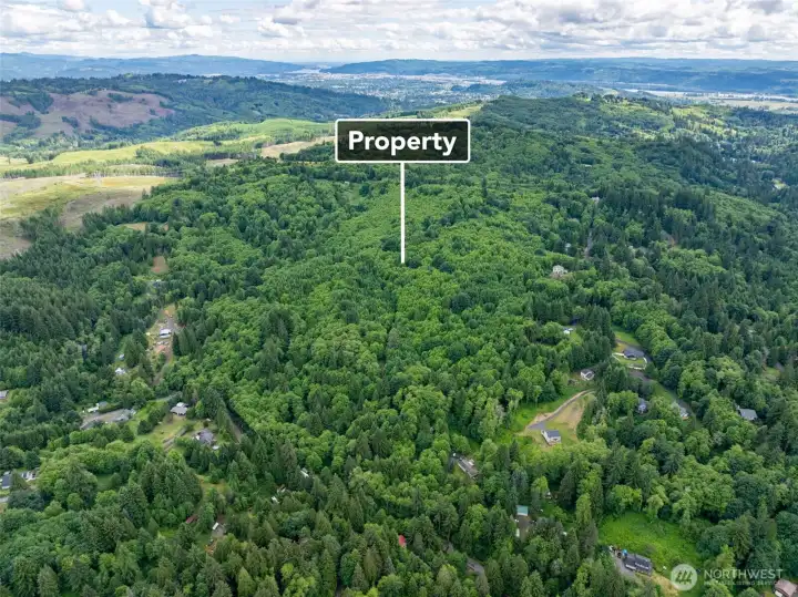
Overhead view with approximate boundaries in red.

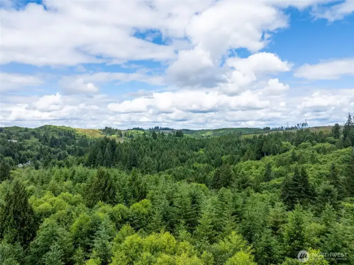
Overhead view with approximate boundaries in red.

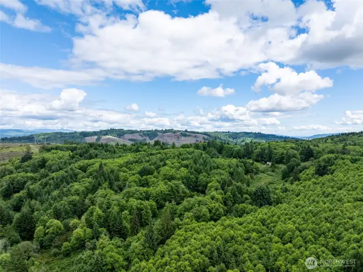
Overhead view with approximate boundaries in red.

Overhead view with approximate boundaries in red and approximate terrain contours.

USDA Soil Map
355 E Ragland Road
Longview, WA 98632
$399,900
Land
0 Beds
0.00 Baths
0 SqFt
Active
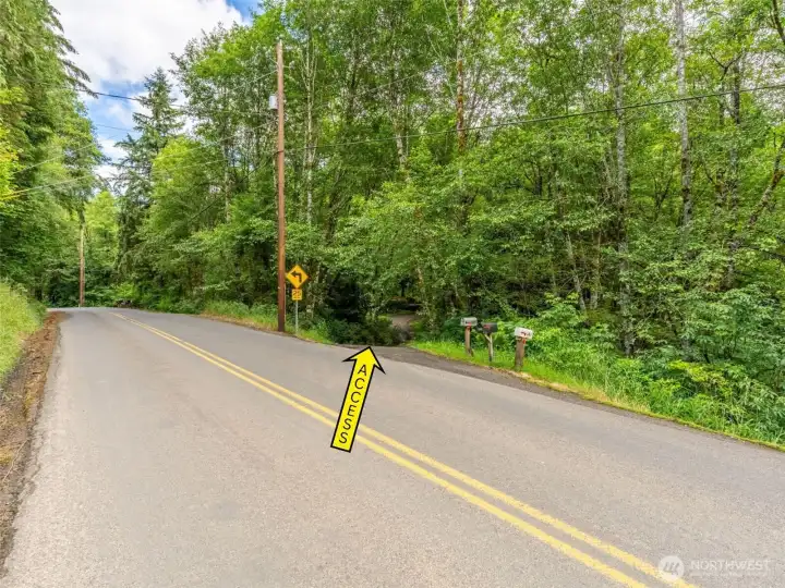
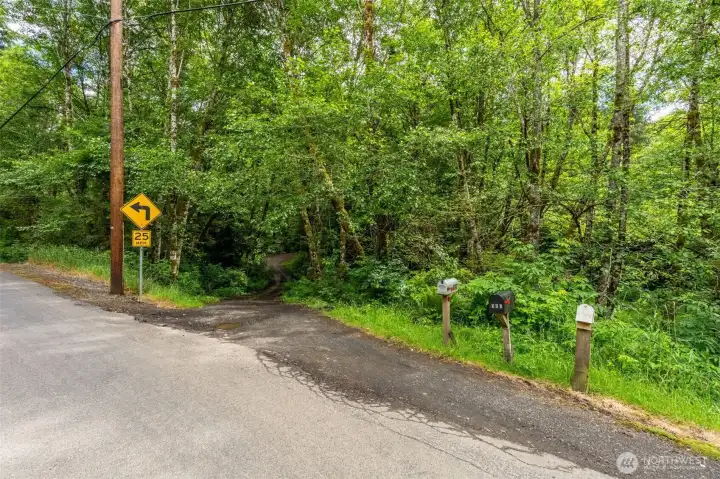
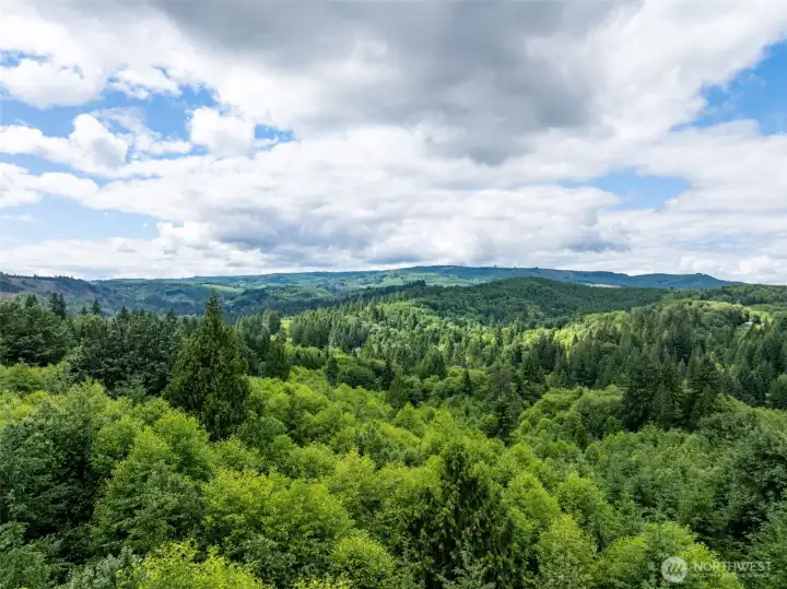
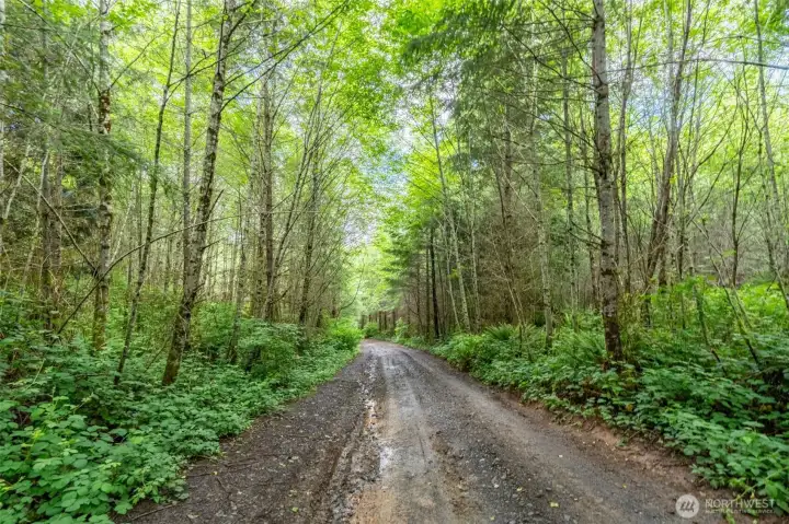
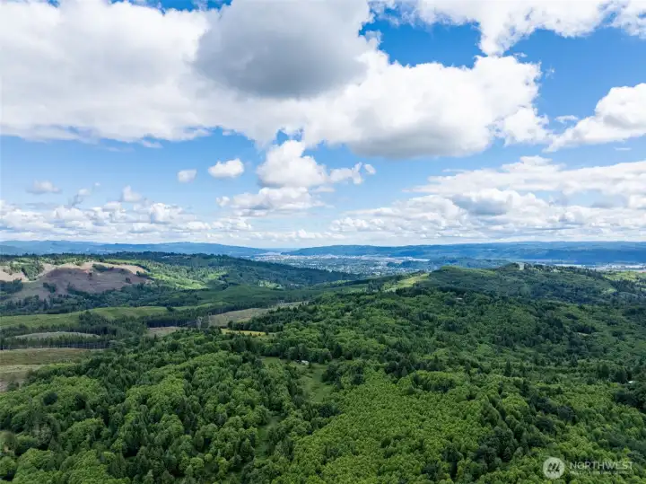
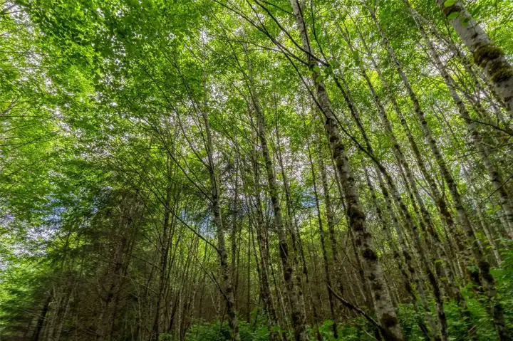
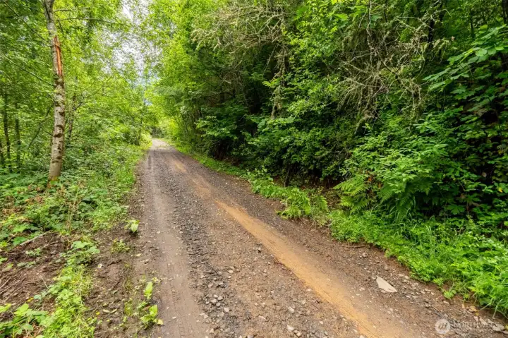
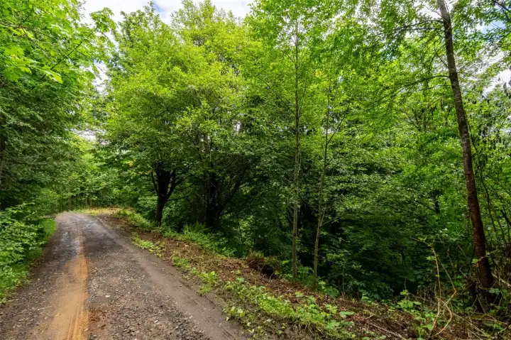
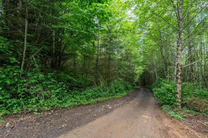
Over 60 acres of forested land in the desirable Coal Creek area, offering a rare combination of privacy, flexibility, and long-term potential. The property consists of 12 underlying 5-acre lots, providing the opportunity to obtain individual tax parcel numbers without completing a formal subdivision process—saving substantial time, money, and effort. Whether you're looking to create a private estate, a multi-home compound with friends or relatives, or a long-term investment, this property offers exceptional versatility. Enjoy expansive territorial views and a peaceful setting surrounded by nature. Electric and water are available in the paved Ragland Road, and the soils consist primarily of silt loam variations, which are generally considered favorable for septic systems. The terrain gradually rises from Ragland Road and is traversed by an existing road system providing access through the heart of the property. Goose Hollow Creek meanders through a portion of the land, and the area is well known for its abundant wildlife and excellent hunting opportunities. No HOA. No CC&Rs. Conveniently located approximately 10 miles from both Castle Rock and Longview. Properties with this combination of size, flexibility, and development potential are increasingly difficult to find.
Watch Virtual Tour #1Property Features
Community: Coal Creek
Res-Over 1 Acre
View:
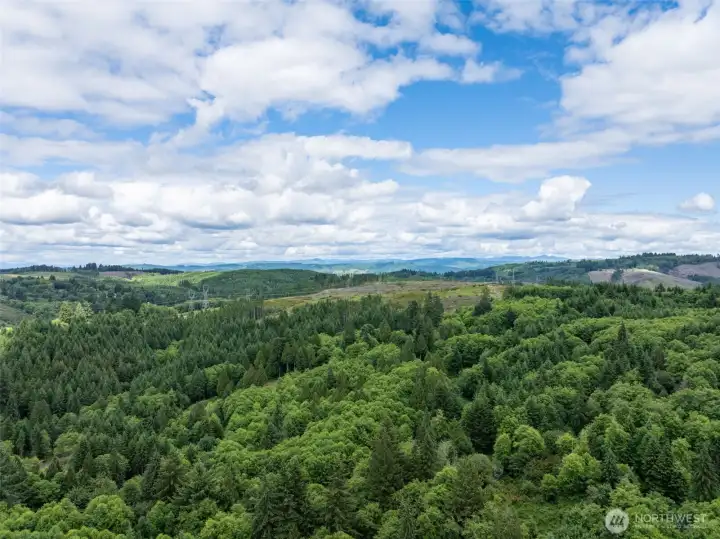
View: Territorial
Waterfront: Creek
Heavily Forested
Recreational
Riding Trails
Stream/Creek
Pool: Above Ground
2025 Taxes: $297.00
Buyer Broker Comp.: 3%
Listing #: 2497274
Lot Details
Lot Size: 60.49 acres
Paved
Secluded
Topography: Level
Topography: Rolling
Topography: Sloped
Road: Dirt
Road: Gravel
Utilities
Electricity: In Street
Water: Available
Water: In Street
Gas: Not Available
Sewer: Not Available
Schools
District: Longview
Call or Email:
Grace Wamwere
What's Near 355 E Ragland Road Longview, WA 98632?

Information is based on data available to the associate, including county records. The information has not been verified by the associate and all information presented should be verified by the buyer. Listings are provided by Northwest Multiple Listing Service as distributed by MLS GRID. The associate represented on this web site is not a multiple listing service but is a member of a local MLS.
DMCA Notice