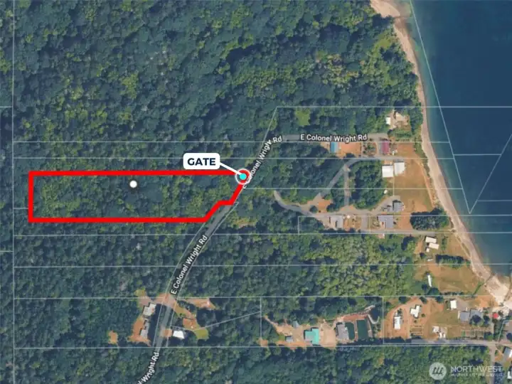
Overhead view with approximate boundaries in red.

Overhead view with approximate route of the easement to water in yellow.

Overhead view with approximate boundaries in red.

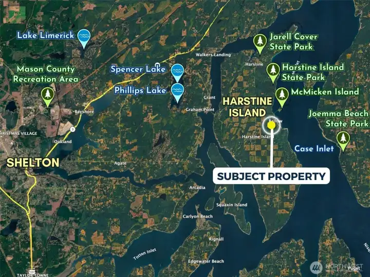
Birdseye view of the approximate boundaries in red and the approximate route of the waterfront easement in yellow.

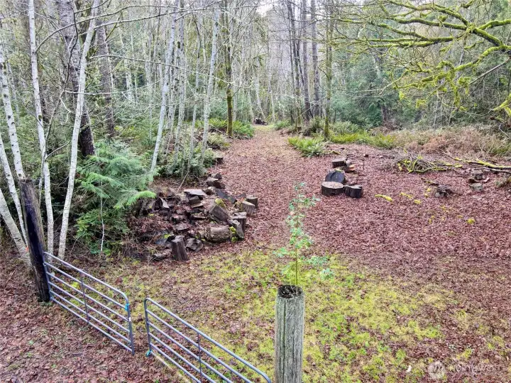
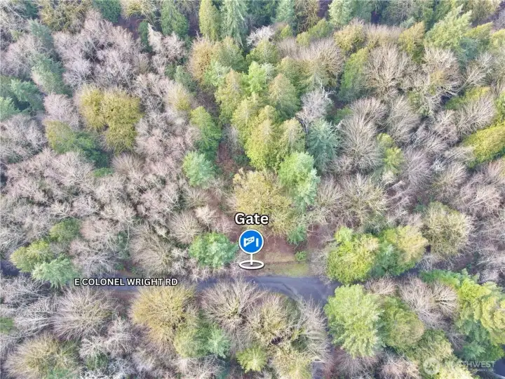
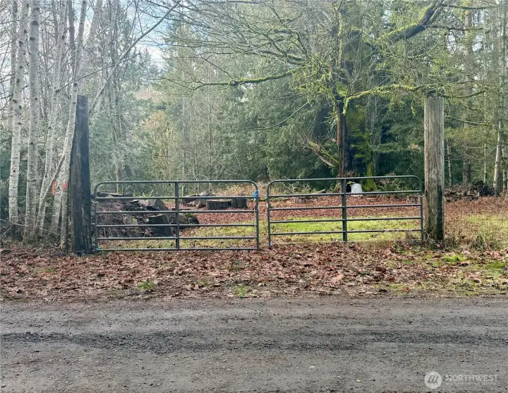
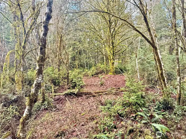
Starting point of walkable easement to shoreline.

Overhead view with approximate boundaries in red. McMicken Island in the background.

Overhead view with approximate boundaries in red.

Overhead view with approximate route of the easement to water in yellow.

Overhead view with approximate boundaries in red.

Overhead view with approximate boundaries in red.

Overhead view with approximate boundaries in red.

Overhead view with approximate boundaries in red and approximate topograpghy.

USDA Soil Map

Overhead view with approximate boundaries in red.