Overhead view with approximate boundaries in red.

Overhead view with approximate boundaries in white and approximate easement in red.

Overhead view with approximate boundaries in red and approximate location of the easement in yellow.

Overhead view with approximate boundaries in red.

Overhead view with approximate boundaries in red and approximate location of the easement in yellow.

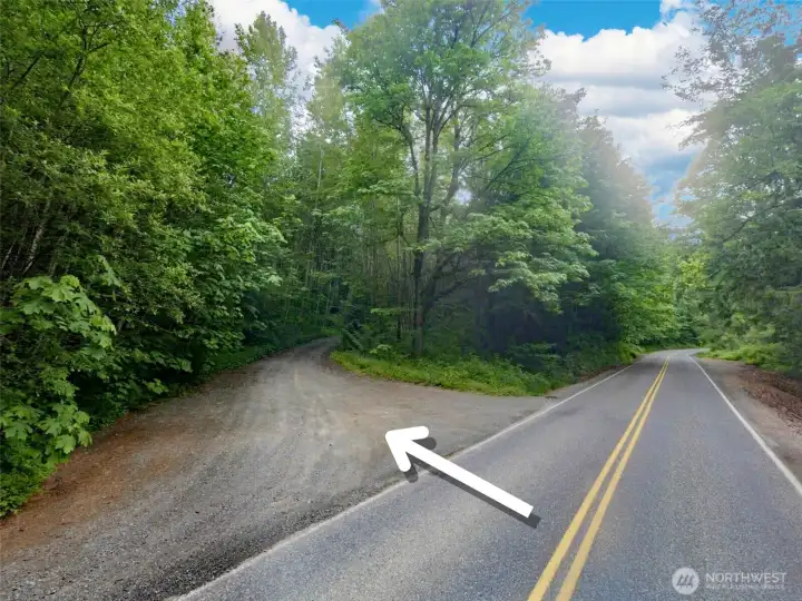
Access easement

Overhead view with approximate boundaries in red and approximate topography lines.

Overhead view with approximate boundaries in red.

Overhead view with approximate boundaries in red and approximate topography lines and soil types per the USDA.

Overhead view with approximate boundaries in red.

Overhead view with approximate boundaries in red.

Overhead view with approximate boundaries in red.

Overhead view with approximate boundaries in red and approximate topography lines.

Overhead view with approximate boundaries in white and approximate easement in red.

Overhead view with approximate boundaries in white and approximate easement in red.

Access easement

Access easement

Overhead view with approximate boundaries in red.