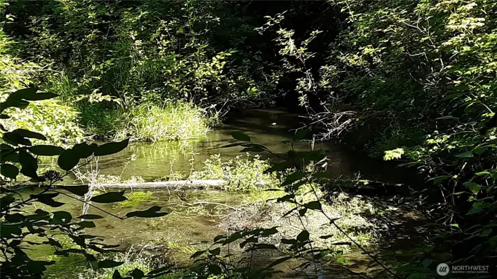
Indian Creek looking downstream (easterly) from the log bridge. A fantasy picnic spot!
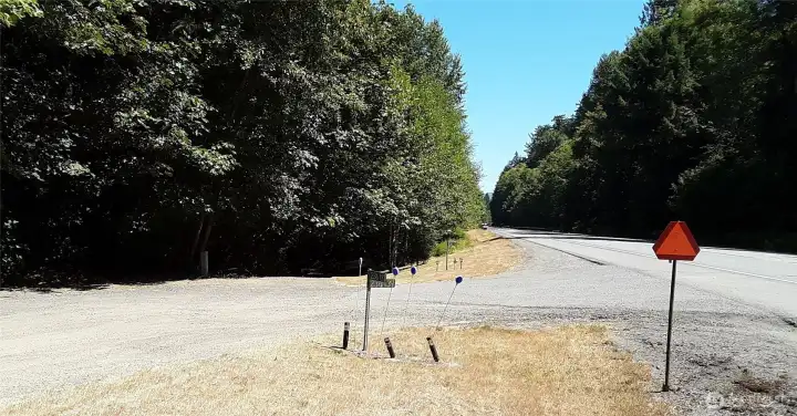
Entry drive looking east; Highway 101 is on right side
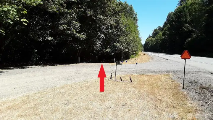
Entry of gravel drive
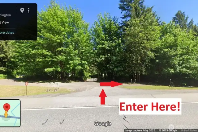
Gravel drive looking east. Spacious parking area at end, near cable gate.
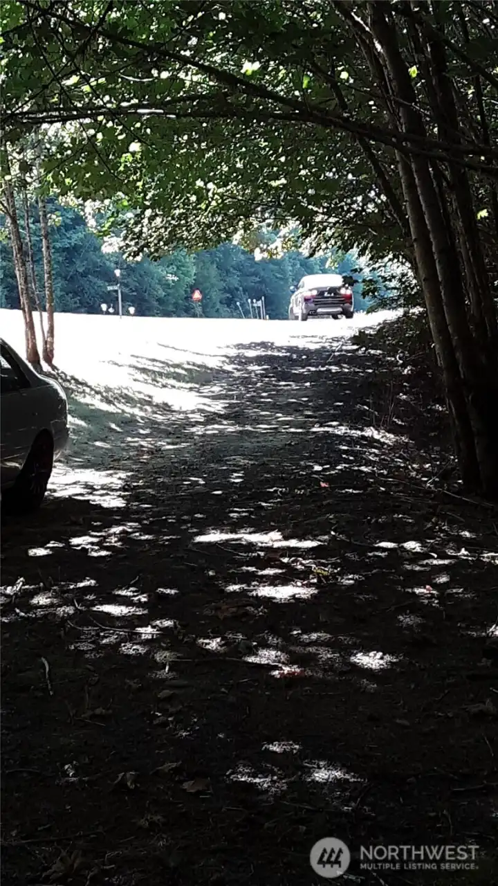
Gravel drive, looking west from the parking area.
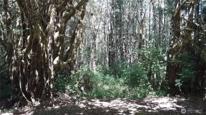
Cable gate guarded by massive maple trees. The cable is locked, but it is easy to walk around the ends of it and explore the property.
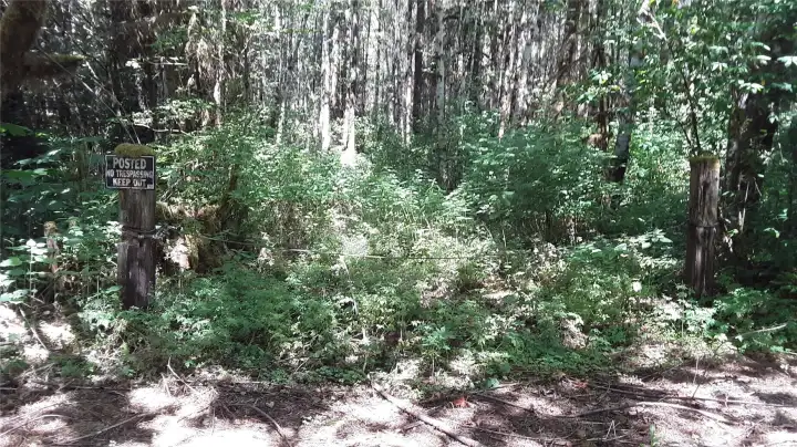
Don't worry about the "No Trespassing" sign if you are viewing the property as a prospective buyer!
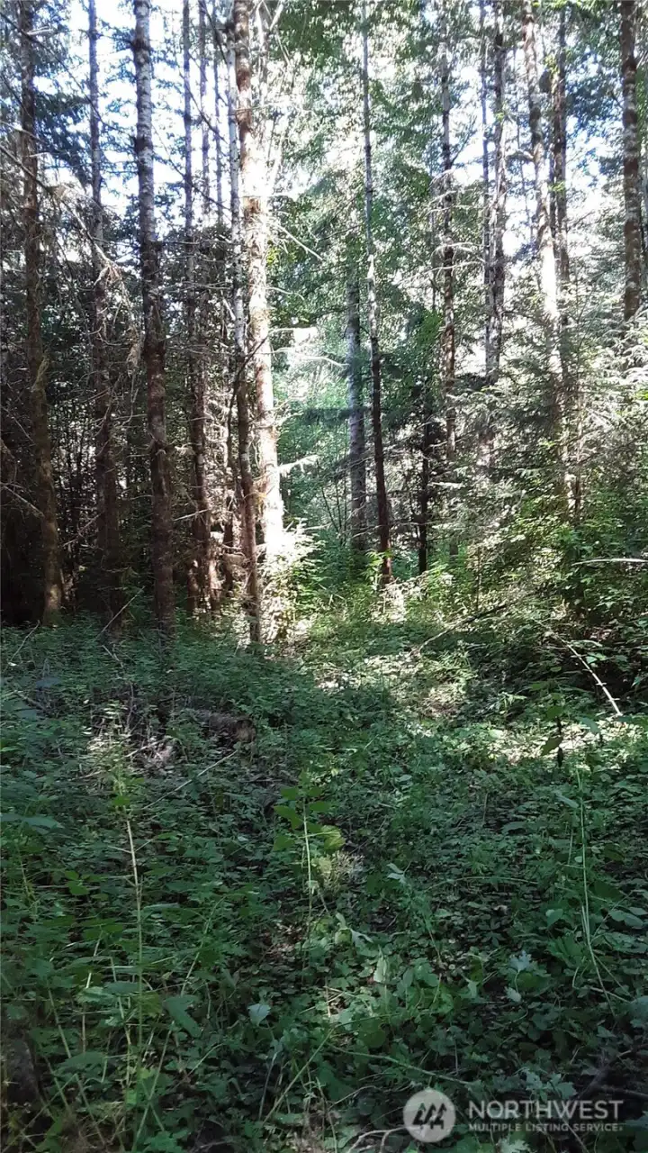
A dirt "driveway" has been cleared of trees for a distance, though it is brushy.
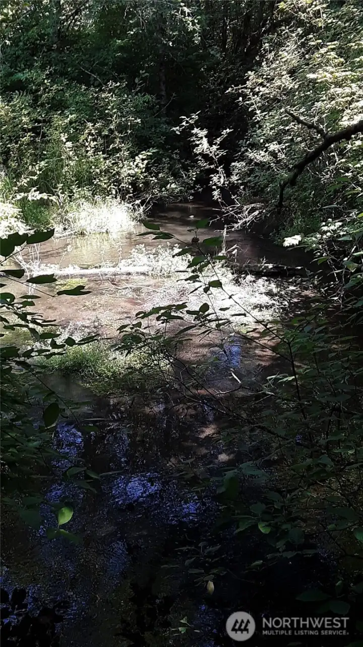
Indian Creek, viewed downstream.
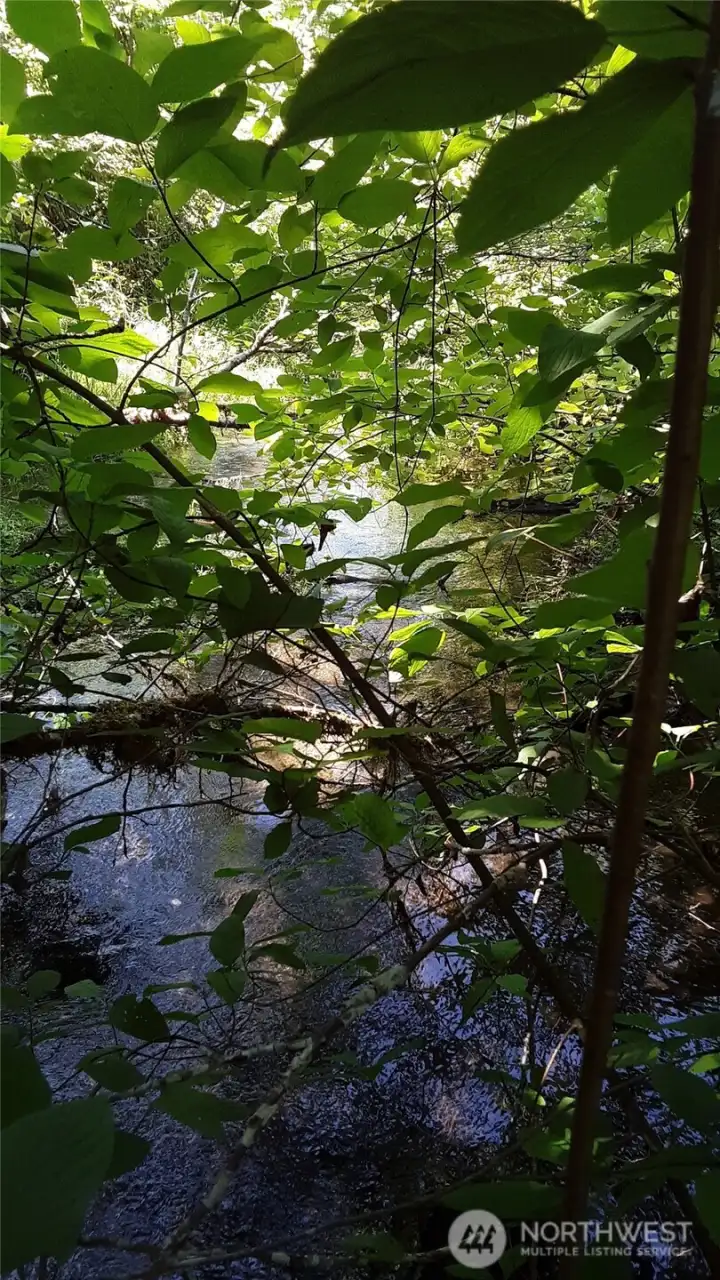
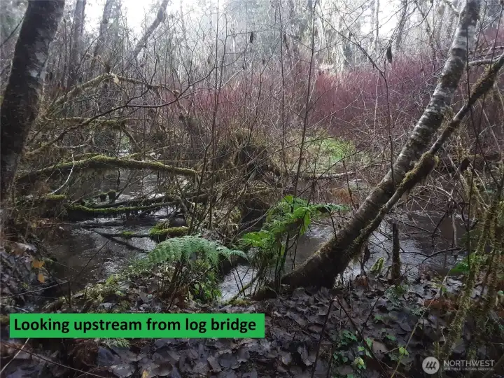
Indian Creek, viewed upstream from the log bridge.
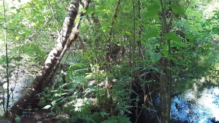
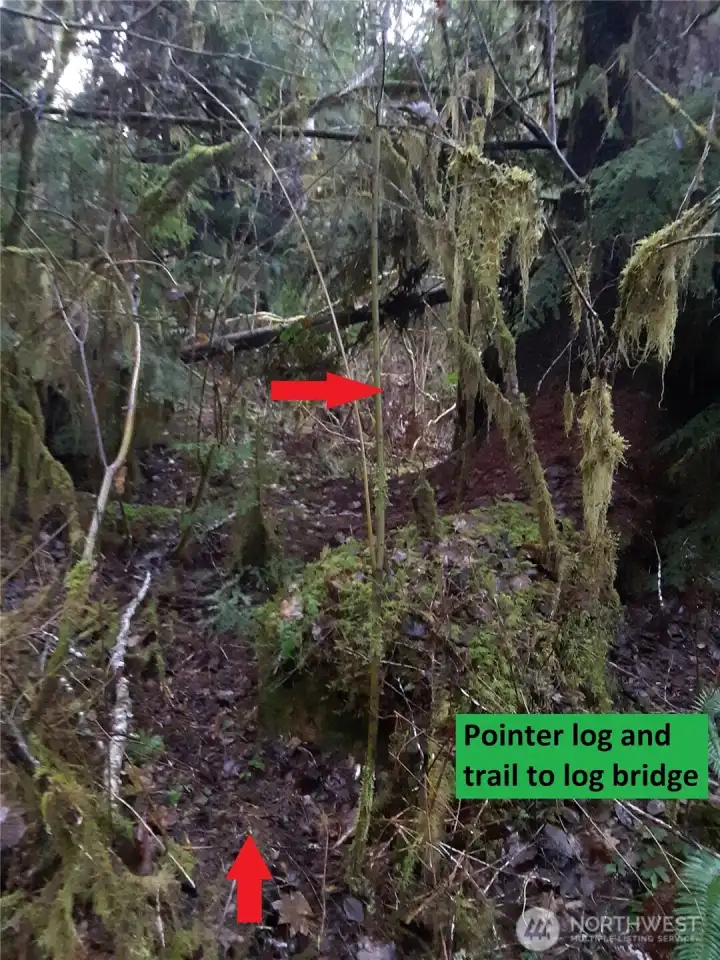
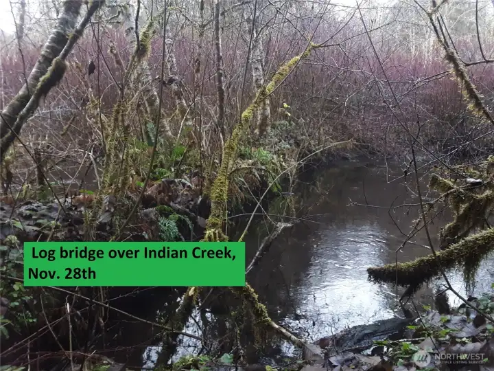
View of the log bridge across Indian Creek, looking north. Some of the property lies on the other side, and beyond that is DNR land!
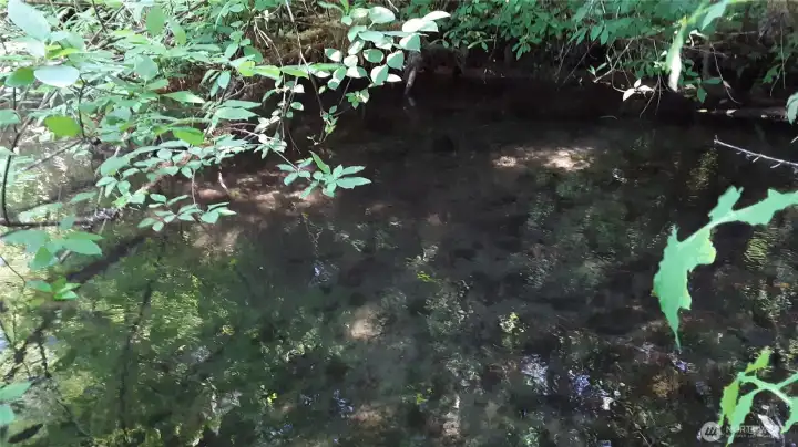
Slackwater. Indian Creek flows out of Lake Sutherland and may sometimes carry fish.
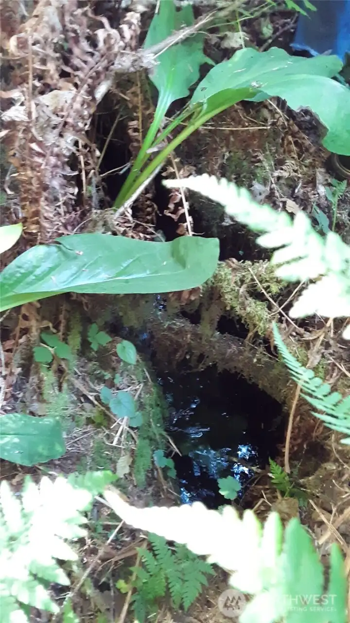
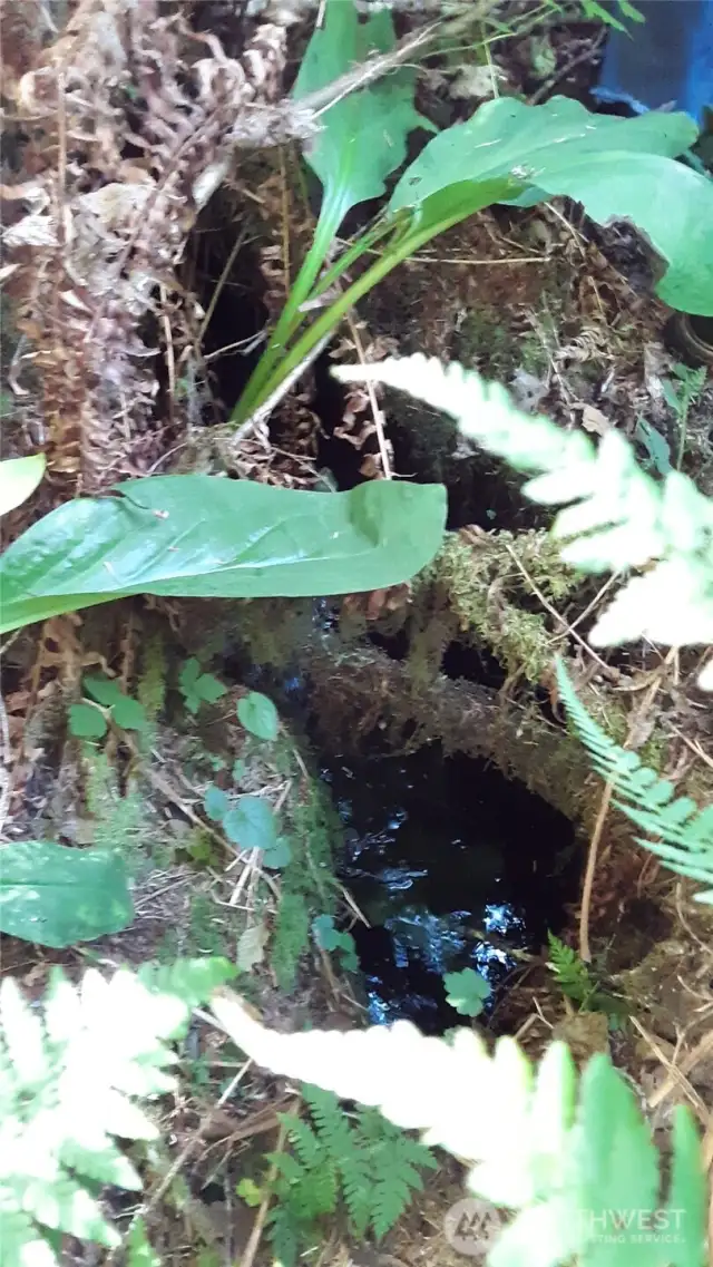
Creeklet number 1 chuckles by, almost underground.
Creeklet no. 2, flanked by ferns, salmonberry, huckleberry, hemlock.
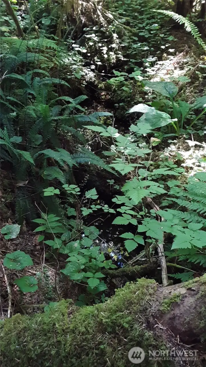
Detail of creeklet no. 2. The plant diversity is amazing.
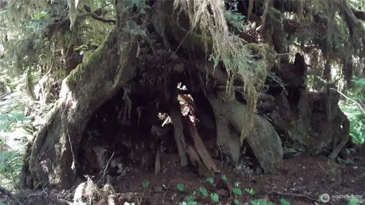
Tree fort? Backyard playground?
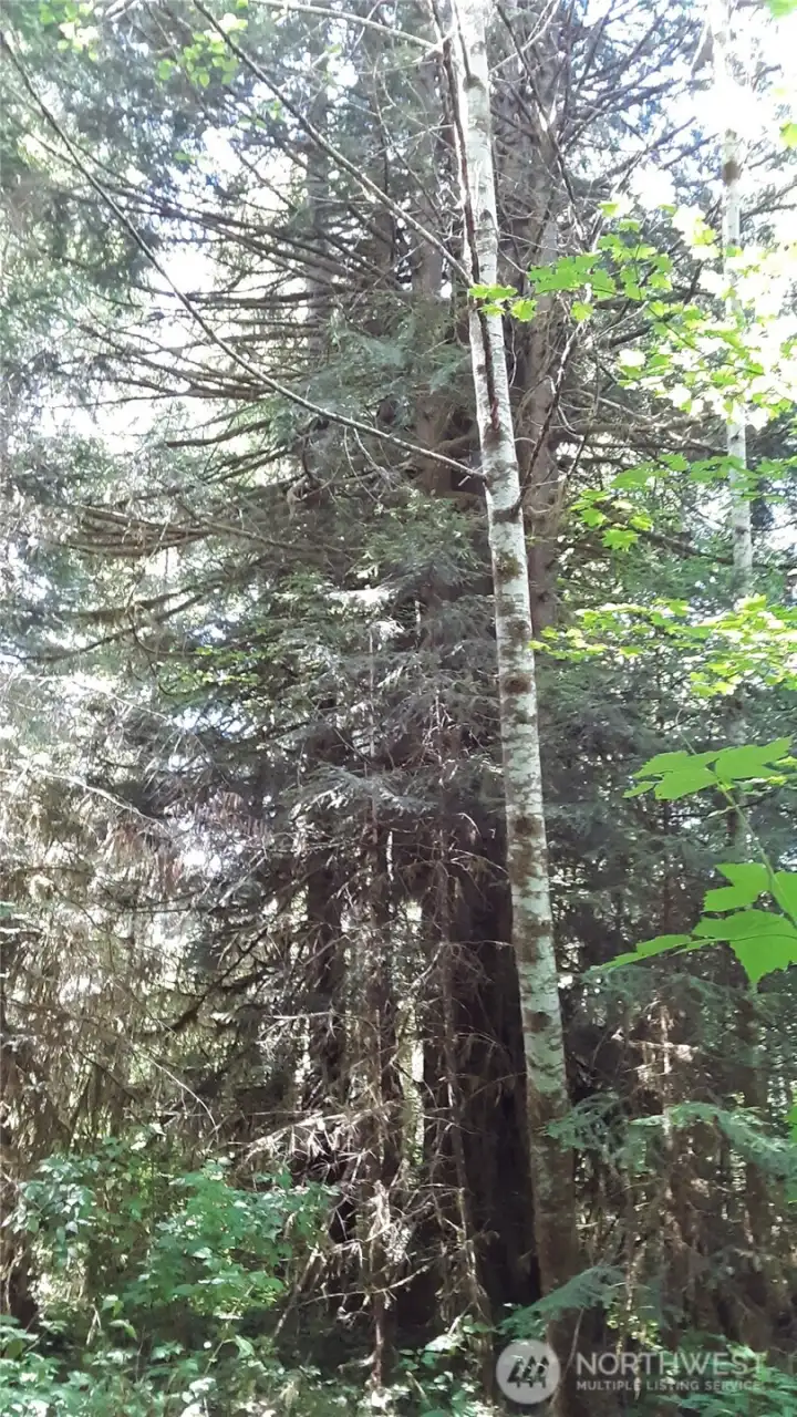
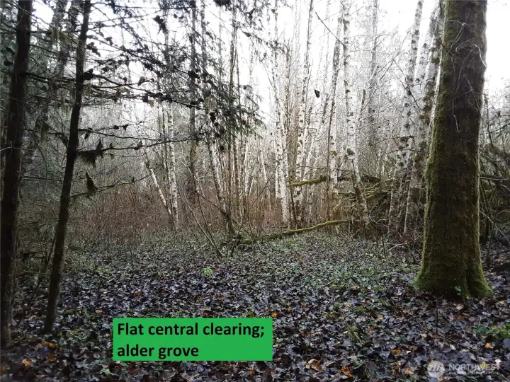
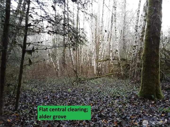
Alder, spruce, hemlock
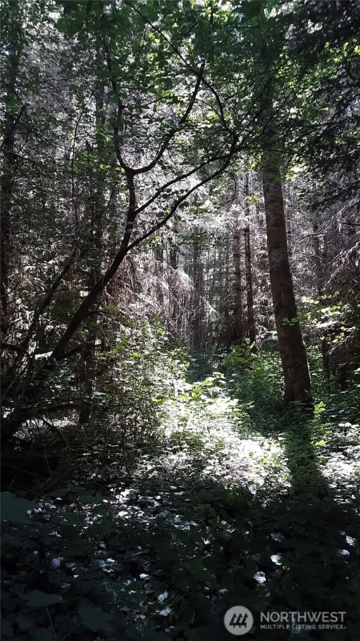
Imagine the sounds of ravens calling and owls hooting.

The PUD junction box is very close to the south property line and the potential building site. Notice the red marker on the highway guard rail.
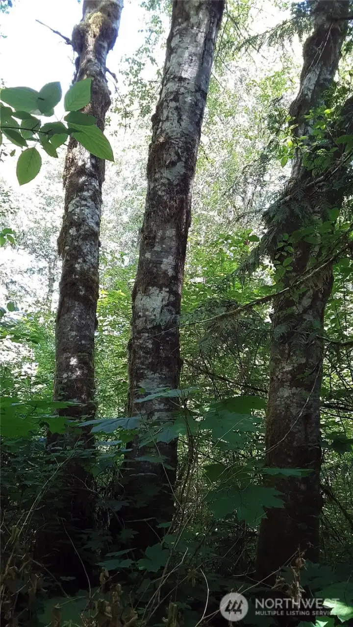
Cottonwood, vine maple, and Devil's club
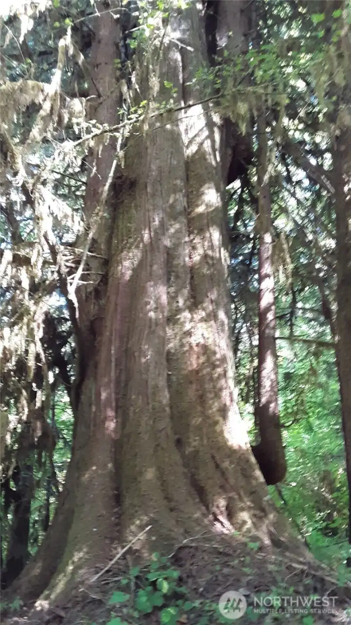
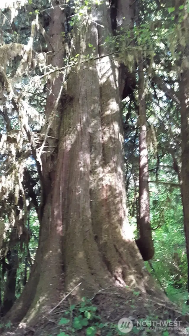
A giant cedar tree with crook branch
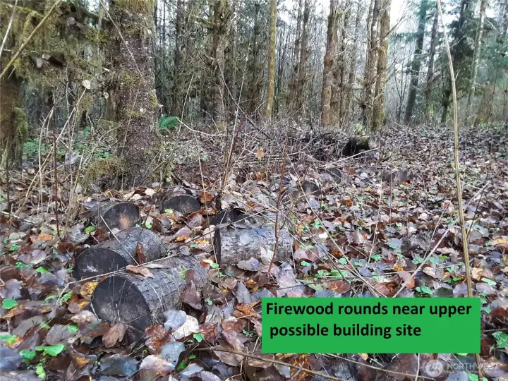
Potential building site/area is marked with lots of wood-cutting remnants, such as these split logs.
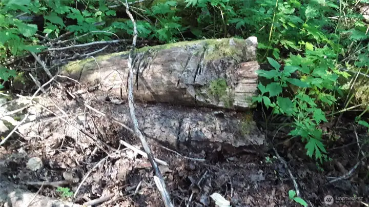
Cut logs, also in area of potential building site.
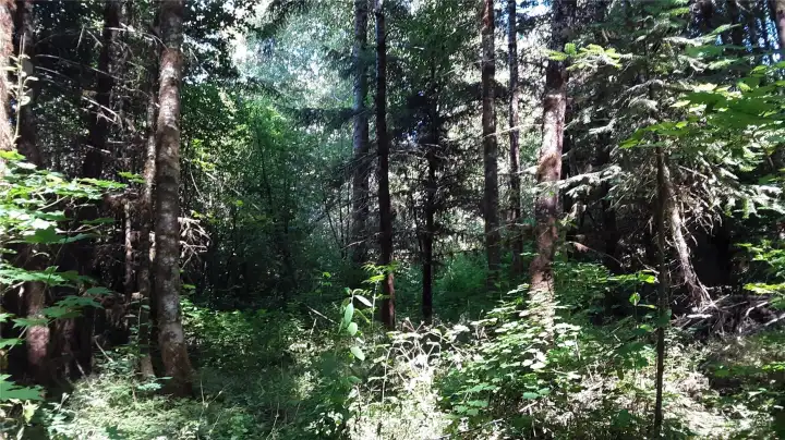
Forest peace...
Flag marker for westerly property line.
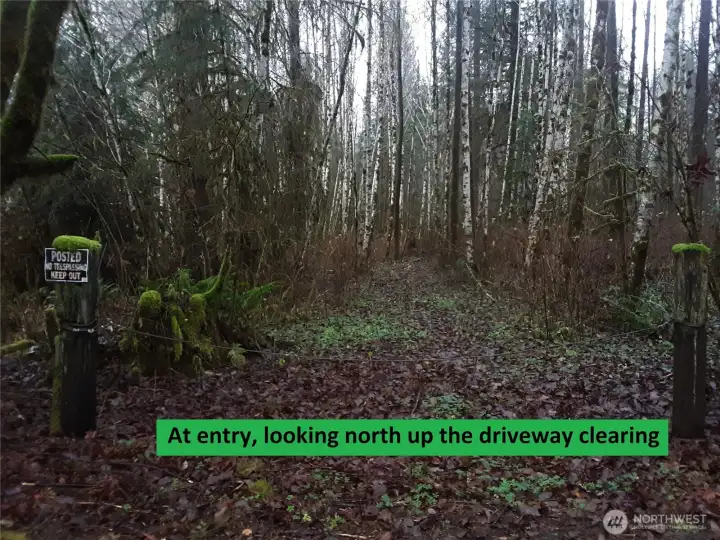
November views. Entry gate, looking north

 Courtesy of KW Everett


 Information is based on data available to the associate, including county records. The information has not been verified by the associate and all information presented should be verified by the buyer. Listings are provided by Northwest Multiple Listing Service as distributed by MLS GRID. The associate represented on this web site is not a multiple listing service but is a member of a local MLS.