Overhead view with approximate boundaries in red.

Overhead view with approximate boundaries in red.

Overhead view with approximate boundaries in red.

Overhead view with approximate boundaries in red.

Overhead view with approximate boundaries in red.

Overhead view with approximate boundaries in red.

Potential Plat Design with 27 Single-Family Lots.

Potential Plat Design with 24 Single-Family Lots.

Potential Plat Design with 24 Single-Family Lots.

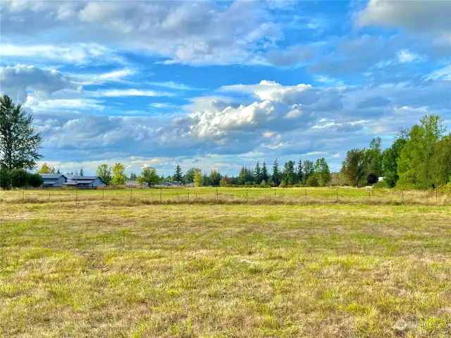
Entire property is mostly pastureland. Looking north.

Looking south

Looking east toward Fieldcrest Place.

Boundary of the property is the fenceline - looking east onto Fieldcrest Place.

On the eastern boundary, there is this sewer lid. Refer to title report to understand the easements for this property.

Overhead view with approximate boundaries in red.

Topographical Map -- This property is very level with fewer than 4 ft of elevation change throughout the property.

LIDAR

Overhead view with approximate boundaries in red.

There's an opening on the northernmost portion of the property.

Looking east along the easement which runs through the property.

Birdseye view showing the surrounding area with the approximate boundaries of the property in red.

Overhead view with approximate boundaries in red.

Entry from Collins Road in between 1676 Collins Road & 1698 Collins Road.

Close-up of entry.

Location of entry as traveling west on Collins Road. The house in view is 1676 Collins Road. The white fence and the house just outside of view on the right-hand side is 1698 Collins Road.

Looking toward Collins Road from within property. The white fence on the left-hand side is 1698 Collins Road.

View of the southern portion of the property.

View of the eastern portion of the south-side of the property.

Soil Map - approximate boundaries of the parcels are in red. The soil type is believed to be Buckley gravelly silt loam.

Approximate boundaries in yellow. The location of the tests pits are outlined -- more information can be found within the Offering Memorandum.

Birdseye view with the approximate boundaries of the property in red.