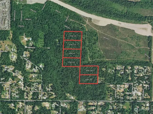
separate five (5) acre parcels. Approximate boundaries are in red.")
The subject site is comprised of six (6) separate five (5) acre parcels. Approximate boundaries are in red.

Birdseye view of the subject offering. Approximate boundaries in red and approximate location of easement in white.

Here's a view of the subject site looking south. The cleared area is a portion of the Sunrise Master Planned Community.

Here's a view in relation to 200th Steet E/Howe Road

Plat option of 89 single-family lots derived by GeoDatum, Inc. using Pierce County GIS mapping of potential wetlands and factoring in likely buffers and potential locations for storm water management. A formal wetland delineation will need to be completed to understand the exact parameters of wetlands, actual buffers, and the best-suited areas for storm water management.

View of the subject site with the easement that runs north from 200th Street East.

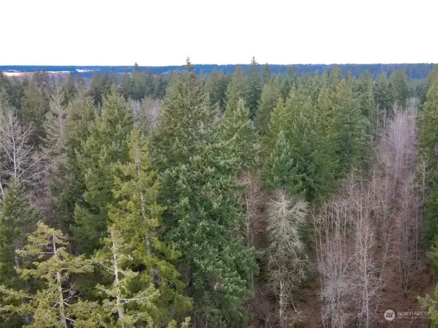
View along the northern boundary bordering Sunrise

If you look closely, you can see Mt. Rainier which is obstructed by cloud cover in this photo.

These are the eastern parcels